Why it's impossible to measure England's coastline
The paradox
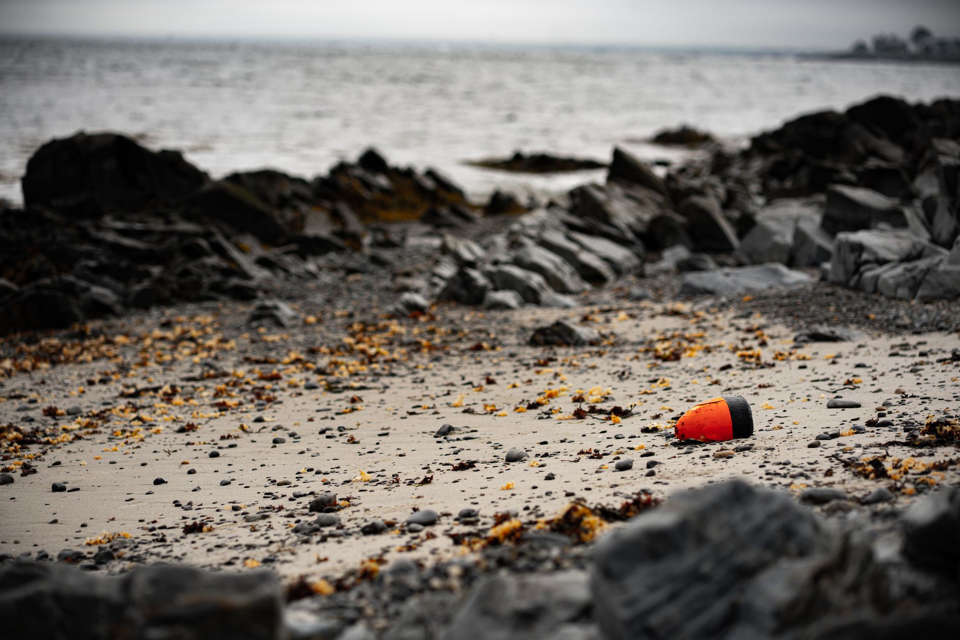
It has been reported that the question "How long is England's coastline?" doesn't have one neat answer. Sounds maddening? It should. The BBC Travel piece revisits the old chestnut known as the coastline paradox: the measured length of a shore grows as you use smaller and smaller measuring sticks. Walk it with a yardstick and you miss the nooks; measure it with a microscope and you'll count every pebble’s shadow. Geometry, it turns out, is stubbornly fractal.
Why scale matters
The crux is simple but perversely elegant: coastlines are crinkly. Bays, estuaries, tidal flats and human-made defenses — they all change what you count as "coast." Add tides, seasonal beaches, and rising seas, and the line shifts under your feet. Modern tools like satellites and GPS help, but they don't erase the math. Measure at one resolution and you get one number; change the resolution and the number changes. Frustrating? Yes. Fascinating? Also yes.
Practical fallout
This isn't just an academic party trick. Numbers feed policy, insurance, tourism copy and coastal management. How much coastline do you need to defend? How many miles of emergency response? Different agencies using different definitions can produce wildly different statistics — and budgets follow those statistics. It's a reminder that data is only as useful as the definitions behind it.
A stubborn, human question
So what's the answer? There isn't a single one. That uncomfortable truth forces a choice: pick a scale suited to the job and live with the ambiguity. Want a headline-friendly statistic? Fine — but don't parade it as gospel. Want precision for engineering? Then agree on conventions and be ready for updates. In an age obsessed with measurement, the coastline paradox is a humble, almost poetic rebuke: some things resist tidy numbers. Who knew geography could be so rebellious?
Sources: bbc.com, Hacker News
Comments