Uncharted island soon to appear on nautical charts
Surprise sighting off Joinville Island
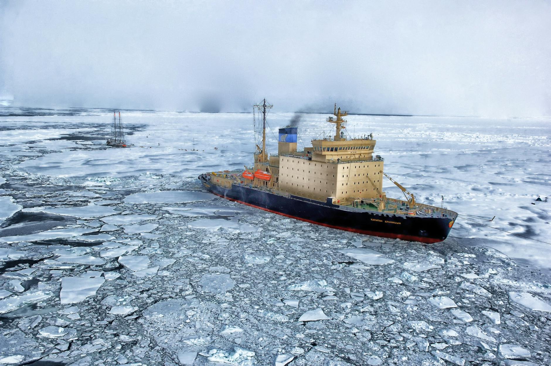
It has been reported that a 93-strong international expedition aboard the Alfred Wegener Institute's icebreaker Polarstern stumbled upon an island in the northwestern Weddell Sea after seeking shelter in the lee of Joinville Island. The team had been working there since 8 February 2026 on one of the region's most important jobs: tracking the outflow of ice and water from the Larsen Ice Shelf and documenting the remarkable sea‑ice retreat of recent years. Then, out of the gray Antarctic mist — boom — land where charts had only warned of danger.
From danger zone to named feature
The Alfred Wegener Institute says the newly observed feature had previously been marked on available nautical charts only as a hazard. Barely a hazard anymore. AWI officials report the island will be recorded on official nautical charts after the expedition returns and data are processed. For mariners and polar researchers alike, that bureaucratic line — uncharted to charted — matters. It changes a note on a map into a fixed point for navigation and study.
Questions, plans and a bigger picture
Why did it appear now? Who knows for sure. Researchers plan to investigate whether the feature is a grounded iceberg, exposed bedrock revealed by ice retreat, or something else entirely; it has been reported that teams will collect bathymetry, imagery and samples to find out. The human moment is unmistakable: modern explorers, bundled against Antarctic wind, watching the planet redraw its own maps. Climate change is the drumbeat behind the story — a reminder that coastlines and charts are less permanent than we like to think.
Sources: awi.de, Hacker News
Comments