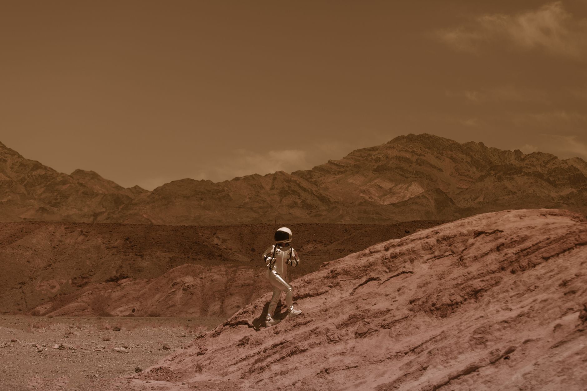
Virtual Mars Traverse: Every inch of Curiosity rover's path since 2012 landing
A map that walks with you
A new interactive site is giving the public a front‑row seat to one of humanity’s longest robotic road trips. Rovers.land visualizes the Curiosity rover’s traverse across Gale Crater since its 2012 landing, stitching together years of drives, stops and science waypoints into a single, scrollable journey. It has been reported that users can follow the rover meter by meter — replay drives, inspect panorama locations and see where key samples were collected.
What the tool actually does
Think Google Earth for Mars, but built around a single rover’s life story. The site reportedly overlays imagery, route traces and annotations so you can jump to moments like the ascent of Mount Sharp or the famous drilling spots. It’s both a timeline and a map: click a point, and you get context — why engineers stopped there, what instruments sampled, what the team learned.
Why this matters
Why should you care? Because this turns dry telemetry into a human narrative. Curiosity’s path is not just mileage; it’s a decade-plus record of curiosity, risk and incremental discovery. Watching the route unfold, you get the emotional hit — the slow, stubborn progress of a machine doing what humans dream of: poking at another world and coming back with stories. In an age when data visualizations are king, this one lands with real heart.
See for yourself
If you’re curious, head to https://www.rovers.land/ and take a walk. It has been reported that the project has sparked conversation on Hacker News and elsewhere about digital preservation and public engagement with planetary science — and honestly, who wouldn’t want to click through a Martian road trip on their lunch break?
Sources: rovers.land, Hacker News
Comments